Geography: Map Skills Social Studies Unit for 2nd and 3rd Grade
Save MORE with Lesson GenieAlso available in the following bundles
More about this resource
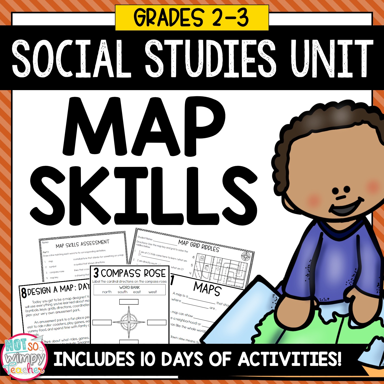
Help your students become confident cartographers with this hands-on Map Skills unit! Through engaging PowerPoint lessons, guided booklet activities, and fun task cards, learners will discover how to read, interpret, and create maps that make sense of the world around them.
Teachers often struggle to:
- Clearly explain what maps are and why people use them in everyday life
- Teach key map features — symbols, keys, grids, and coordinates—in a way that feels intuitive to students
- Help students use a compass rose and direction words to find and describe locations
- Guide upper-grade students in interpreting and applying a map scale to measure distance accurately
- Support students in describing relative location using precise directional language
- Show students how to use coordinates and map grids to locate places with accuracy
- Lead students in designing their own maps that incorporate symbols, scales, grids, and directional features effectively
The unit includes interactive PowerPoints, enrichment activities, task cards, a research project, and an assessment. Students also complete a social studies booklet to track their learning each day.
By the end of this unit, students will not only recognize how landforms and bodies of water shape Earth’s surface, but also explain how geography impacts where people live, how they travel, and how they use natural resources. They’ll leave with a deeper understanding of physical geography and a stronger connection to the land and water features in their own community and state.
What’s Included:
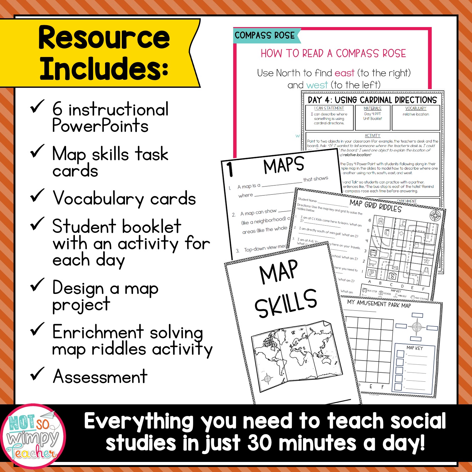
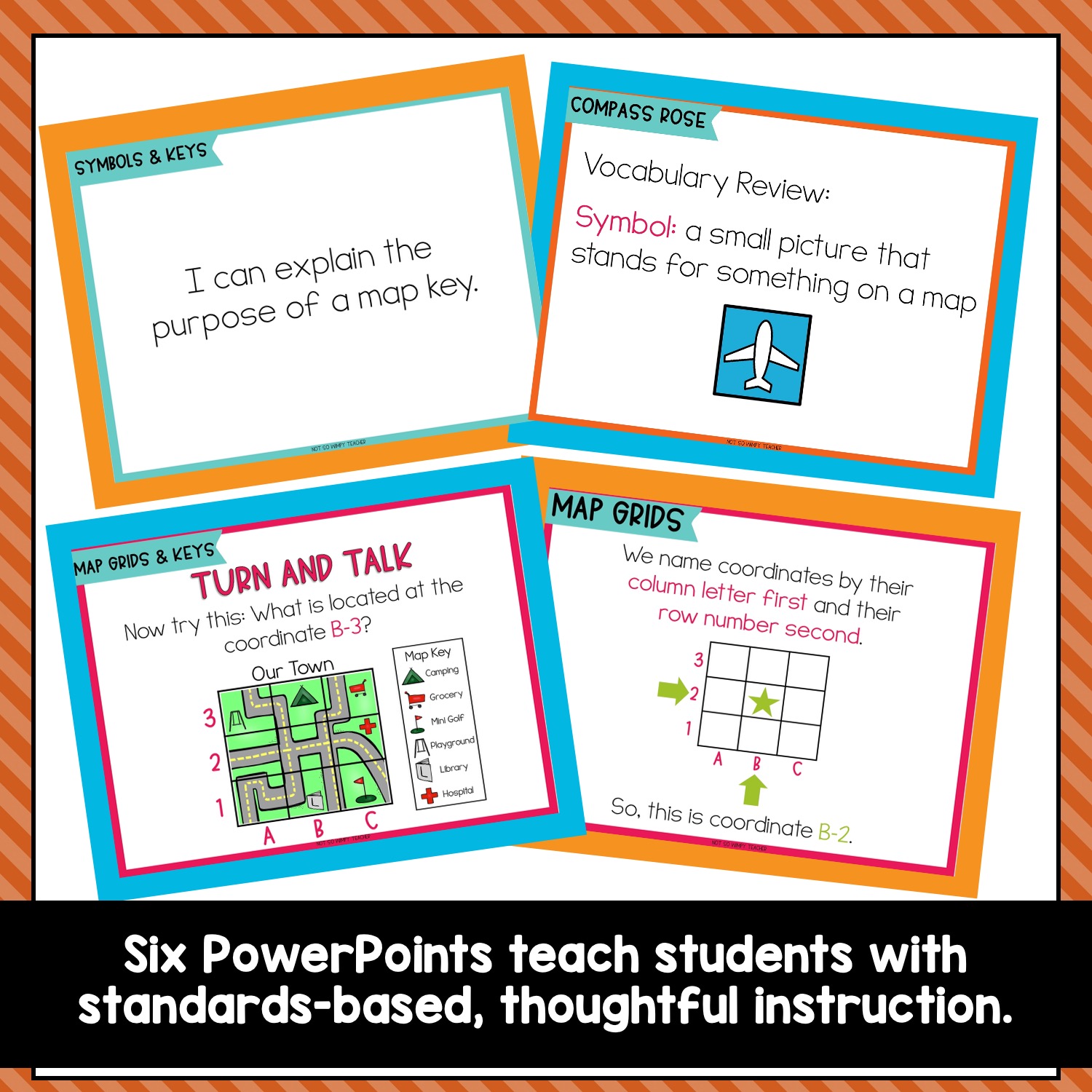
- 6 PowerPoint lessons with detailed teacher notes
- Detailed lesson plans with both intervention and enrichment
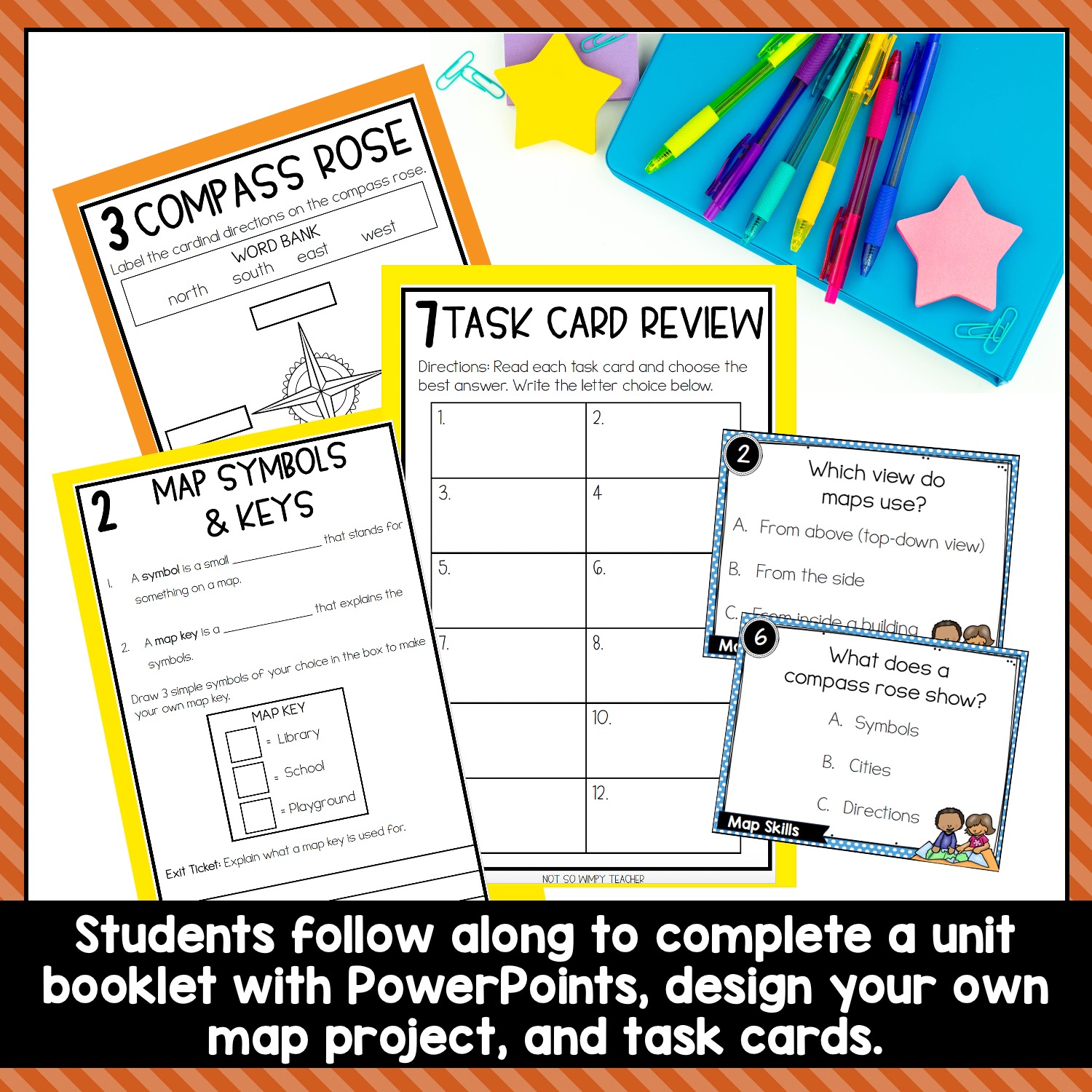
- Student workbook with guided notes activities
- Reading passages with response questions
- Design a map project
- Task Cards
- Map riddle enrichment activity
- Vocabulary cards for key terms
- Comprehensive assessment
- Complete daily lesson plans with social studies standards
Skills Covered:
- What maps are and why people use them
- Key map features like symbols, keys, grids, and coordinates
- How to use a compass rose and directions to find locations
- How to interpret and apply a map scale (upper grades version)
- How to describe relative location using direction words
- How to use coordinates and map grids to locate places accurately
- How to design their own maps using all the skills they’ve learned
How to Use in the Classroom:
Follow our 10-day sequence or adapt it to fit your pacing:
- Day 1: What is a Map? – PowerPoint lesson + booklet activity
- Day 2: Map Keys and Symbols – PowerPoint lesson + booklet activity
- Day 3: Compass Rose & Directions – PowerPoint lesson + booklet activity
- Day 4: Using Directions – PowerPoint lesson + booklet activity
- Day 5: Reading Map Grids – PowerPoint lesson + booklet activity
- Day 6: Using Keys & Grids Together – PowerPoint lesson + booklet activity
- Day 7: Task Cards – Partner or independent review of all map skills
- Day 8: Map Design (Part 1) – Planning and sketching amusement park map
- Day 9: Map Design (Part 2) – Coloring, labeling, and presenting maps
- Day 10: Final Assessment – Applying all learned map skills
Each lesson takes approximately 30 minutes and can be taught in whole group, small group, or paired activities!
❤️❤️ Why You’ll Love This Resource ❤️❤️
- Print-and-go format saves hours of prep time
- Engaging mix of direct instruction and interactive activities
- Thoughtful guidance for teaching sensitive topics with confidence
- Builds critical thinking skills through meaningful discussion
Watch your students develop deeper understanding as they explore the importance of equality and justice through this engaging, comprehensive unit!